Environmental Intelligence
Soaring towards a Pollution Free Future
Using autonomous drones and AI to track human pollution across landscapes and waterways.
Get in touchMaking plastic pollution visible
Dodo AI builds drone-powered survey maps that reveal the true scale of human pollution in our environment. By flying autonomous missions over coastlines, rivers, and urban areas, we capture high-resolution imagery that our AI models analyze to detect, classify, and map human pollution.
The result: detailed, actionable maps that help researchers, municipalities, and environmental organizations understand where harmful pollution accumulates, where to focus cleanup efforts and measure policy effectiveness.


Measuring human polution on an incredible scale
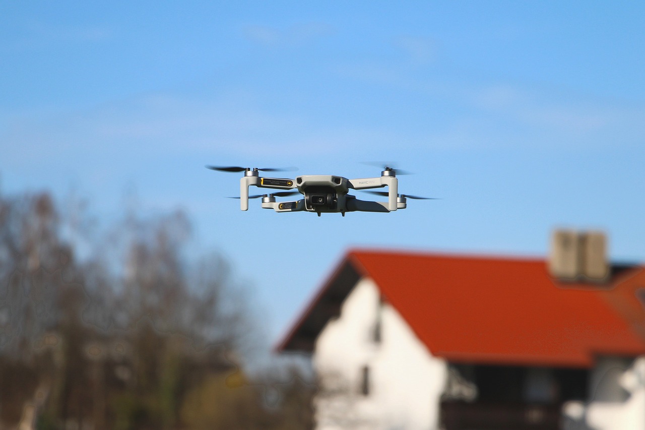
Autonomous Drone Surveys
Our drones fly pre-programmed surveys over target areas, capturing overlapping aerial imagery at high resolution. Each flight covers large areas efficiently with centimeter-level detail.
AI-Powered Detection
Our machine learning models analyze survey imagery to automatically detect and classify harmful human pollution across diverse terrains.
Tracking Pollution over Time
We generate georeferenced maps that visualize pollution density, distribution, and hotspots; giving municipalities the data they need to act and measure impact over time.
Current project phase
AI Model Development Completed
Training and evaluating detection models on human waste datasets across different environments and conditions.
Field Testing & Data Collection In Progress
Conducting real-world drone survey flights, generating pollution rapports and interatively improving performance.
Map Platform & Scaling TBD
Building the mapping platform, expanding the autonomous drone fleet and increase surveying area.